Mont-Chauve
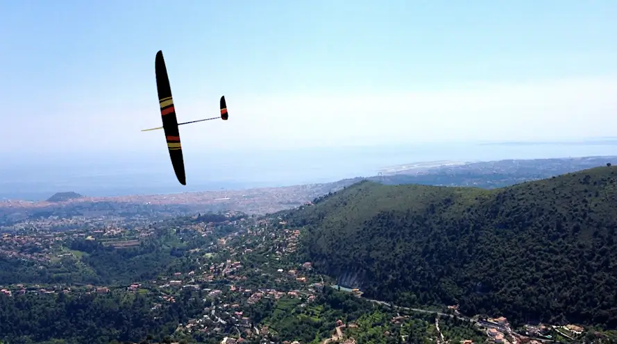
Magical place, with this panoramic view of Nice, where even the anvils can fly! ... Hum hum, a few times ...
 F3F glider at Mont-Chauve
Note that on the picture, the model is not an anvil, since it is one of the "competition beasts F3F" of our friend Philippe, one of the best French drivers of the discipline.
Located 15 minutes from Nice, this slope open to all we have good times of flights with our gliders or electric planes (not noisy, of course, because there are neighbors nearby!).
It's a place to protect. Thanks to the help and kindness of the Mayor of Tourrette-Levens, we had a garbage can to keep the site clean. Recently, we also obtained the installation of a bulletin board to communicate with all model aircraft frequenting this site.
For our visitors, coming from other clubs, other regions, you can click on the link : Street view at the bottom of the page to view the place. Then, you can make your route by noting the GPS coordinates of the place, the blue image, or click on the google maps link, at the bottom of the page.
This zone is referenced on the aeronautical charts by DGAC 1.

Mont-Chauve GPS position
Enjoy the flights everyone.
- Position of the slope of Mont-Chauve with
- Street View and
- Google Maps
- Mayor of Tourrette-Levens
- DGAC 1
- Website of the French Civil Aviation Authority

